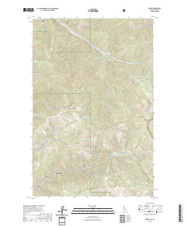
2024 Map of Burke
USGS Topo · Published 2024About this map
The canyon floors and steep slopes of the Coeur d'Alene Mountains reveal a landscape defined by the legacies of mining and high-altitude transport. Along the narrow corridor of Canyon Creek, a sequence of historic settlements including Burke, Mace, Black Bear, Frisco, and Gem reflects the intense development of this mineral-rich region. The map captures the interface between these industrial corridors and the protected wilderness of the Coeur D'Alene National Forest, where an intricate network of trails like the Raven Gulch Trl and Granite Peak Trl traverse the ridges. Significant landmarks such as Tiger Peak and Custer Peak tower over the gulches, while the presence of the Murray Cem in the north serves as a quiet record of early residents. The complex topography is further evidenced by features like Tamarack Saddle and Shifters Hill, which dictate the winding paths of roads such as Burke Canyon-Creek RD.
Find a feature on this map
67 named features on this map. Tap any name to fly to it.
Don’t see what you’re looking for? This feature index may not catch every label — zoom into the map to look around manually.
Map Details
Editions of this 2024 Burke Map
This is the sole edition of this map. No revisions or reprints were ever made.
Other maps of this area

1901 · Coeur D'Alene District
USGS Topo · 1:62,500

1903 · Coeur D'Alene District
USGS Topo · 1:62,500

1906 · Coeur D'Alene District
USGS Topo · 1:62,500

1914 · Avery
USGS Topo · 1:125,000

1917 · Avery
USGS Topo · 1:125,000

1932 · Trout Creek
USGS Topo · 1:125,000

1935 · Trout Creek
USGS Topo · 1:125,000

1936 · Trout Creek
USGS Topo · 1:125,000

1956 · Cooper Gulch
USGS Topo · 1:62,500

1956 · Saltese
USGS Topo · 1:62,500