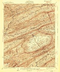
1941 Map of Burkes Garden
USGS Topo · Published 1941About this map
Garden Mountain encircles the striking geological bowl of Burkes Garden, a high-elevation valley that defines the landscape of central Tazewell County. This 1935-36 survey illustrates the remote agrarian character of the region, where water flows from Station Spring and Blue Spring to form Banks Creek. Small mountain communities such as Littletown and Sharon Springs are connected by winding valley roads, while the northern edge of the map shows the industrial influence of the Norfolk and Western Railway passing through Bluefield and West Graham.
Find a feature on this map
70 named features on this map. Tap any name to fly to it.
Don’t see what you’re looking for? This feature index may not catch every label — zoom into the map to look around manually.
Map Details
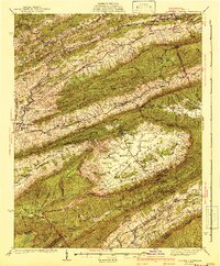
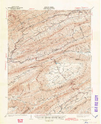
Editions of this 1941 Burkes Garden Map
3 editions found
Other maps of this area

1887 · Pocahontas
USGS Topo · 1:125,000

1889 · Wytheville
USGS Topo · 1:125,000

1891 · Tazewell
USGS Topo · 1:125,000

1891 · Pocahontas
USGS Topo · 1:125,000

1891 · Abingdon
USGS Topo · 1:125,000

1892 · Wytheville
USGS Topo · 1:125,000

1894 · Pocahontas
USGS Topo · 1:125,000

1894 · Abingdon
USGS Topo · 1:125,000

1895 · Tazewell
USGS Topo · 1:125,000

1895 · Pocahontas
USGS Topo · 1:125,000