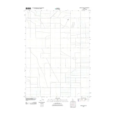
2010 Map of Burley Butte
USGS Topo · Published 2010About this map
Burley Butte rises as the central landmark in this agricultural section of Cassia County, where a rigid grid of rural roads defines the irrigation-dependent landscape. The topography is shaped by the presence of Goose Creek and Big Cottonwood Creek, which flow through a region heavily partitioned by systematic land divisions. This 2010 survey illustrates the developed network of numbered routes such as 600 South Rd and 900 South Rd, which facilitate transport across the flats. The map provides a clear look at the intersection of natural hydrology and man-made infrastructure, showing how local water sources like Goose Creek integrate with the established section lines and property boundaries typical of the region's ranching and farming history.
Find a feature on this map
23 named features on this map. Tap any name to fly to it.
Don’t see what you’re looking for? This feature index may not catch every label — zoom into the map to look around manually.
Map Details
Editions of this 2010 Burley Butte Map
This is the sole edition of this map. No revisions or reprints were ever made.
Other maps of this area

1954 · Pocatello
USGS Topo · 1:250,000

1955 · Twin Falls
USGS Topo · 1:250,000

1958 · Twin Falls
USGS Topo · 1:250,000

1958 · Pocatello
USGS Topo · 1:250,000

1964 · Burley SW
USGS Topo · 1:24,000

1964 · Kenyon
USGS Topo · 1:24,000

1964 · Milner
USGS Topo · 1:24,000

1964 · Burley Butte
USGS Topo · 1:24,000

1964 · Burley SE
USGS Topo · 1:24,000

1965 · Milner Butte
USGS Topo · 1:24,000