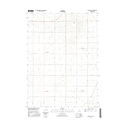
2017 Map of Burley Butte
USGS Topo · Published 2017About this map
Burley Butte dominates the northern skyline of this Cassia County landscape, its elevation standing in contrast to the agricultural grid that defines the surrounding terrain. This section of southern Idaho is meticulously partitioned by a series of rural roads, including W 300 S and W 1000 S, which facilitate movement between the vast sections of t11s r21e and t12s r22e. Water distribution for the region's farms and ranches is supported by the natural flow of Goose Cr and Big Cottonwood Cr, which cut through the lower elevations. The map provides a clear look at the intersection of natural topography and the high-desert irrigation patterns that have sustained local life for generations.
Find a feature on this map
16 named features on this map. Tap any name to fly to it.
Don’t see what you’re looking for? This feature index may not catch every label — zoom into the map to look around manually.
Map Details
Editions of this 2017 Burley Butte Map
This is the sole edition of this map. No revisions or reprints were ever made.
Other maps of this area

1954 · Pocatello
USGS Topo · 1:250,000

1955 · Twin Falls
USGS Topo · 1:250,000

1958 · Twin Falls
USGS Topo · 1:250,000

1958 · Pocatello
USGS Topo · 1:250,000

1964 · Burley SW
USGS Topo · 1:24,000

1964 · Kenyon
USGS Topo · 1:24,000

1964 · Milner
USGS Topo · 1:24,000

1964 · Burley Butte
USGS Topo · 1:24,000

1964 · Burley SE
USGS Topo · 1:24,000

1965 · Milner Butte
USGS Topo · 1:24,000