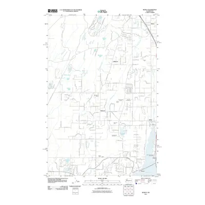
2011 Map of Burley
USGS Topo · Published 2011About this map
Henderson Bay and the northern reaches of the Key Peninsula define this coastal landscape, where the communities of Burley and Purdy sit at the water's edge. The 2011 survey reveals a region characterized by small-scale industrial sites and recreational land use, including the Horseshoe Lake Golf Course and several active extraction points like the South End Quarry and Minter Pit. The terrain is dotted with numerous small bodies of water such as Stansberry Lake, Square Lake, and Lake Flora, many of which feed into systems like Minter Creek and Blackjack Creek.
Find a feature on this map
178 named features on this map. Tap any name to fly to it.
Don’t see what you’re looking for? This feature index may not catch every label — zoom into the map to look around manually.
Map Details
Editions of this 2011 Burley Map
This is the sole edition of this map. No revisions or reprints were ever made.
Other maps of this area

1936 · Point Misery
USGS Topo · 1:62,500

1937 · Port Orchard
USGS Topo · 1:62,500

1938 · Allyn
USGS Topo · 1:62,500

1940 · Point Misery
USGS Topo · 1:62,500

1942 · Gig Harbor
USGS Topo · 1:62,500

1943 · Gig Harbor
USGS Topo · 1:62,500

1953 · Burley
USGS Topo · 1:24,000

1953 · Sylvan
USGS Topo · 1:24,000

1953 · Vaughn
USGS Topo · 1:24,000

1953 · Bremerton West
USGS Topo · 1:24,000