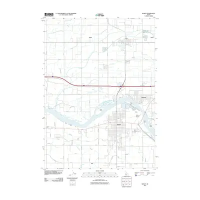
2010 Map of Burley
USGS Topo · Published 2010About this map
The Snake River serves as the central artery for this region of Cassia County, carving a wide path that separates the city of Burley from its northern neighbors. This survey captures a highly engineered agricultural landscape defined by an intricate network of irrigation channels, including the Main Drain, B-4 Canal, and numerous lateral lines like G 18 Lateral and J 38 Lateral. These features highlight the importance of water management in the Idaho desert, supporting the settlements of Paul, Heyburn, and Budge. Notable river features include Custer Island and Hog Island, while landmarks like Starrhs Ferry and Pleasant View Cemetery provide specific points of interest for local history and genealogy. The grid of rural roads and the proximity of the Burley Municipal Airport reflect the area's development into a regional hub for transportation and farming at the start of the decade.
Find a feature on this map
75 named features on this map. Tap any name to fly to it.
Don’t see what you’re looking for? This feature index may not catch every label — zoom into the map to look around manually.
Map Details
Editions of this 2010 Burley Map
This is the sole edition of this map. No revisions or reprints were ever made.
Other maps of this area

1954 · Pocatello
USGS Topo · 1:250,000

1958 · Pocatello
USGS Topo · 1:250,000

1964 · Burley SW
USGS Topo · 1:24,000

1964 · Burley NE
USGS Topo · 1:24,000

1964 · View
USGS Topo · 1:24,000

1964 · Kenyon
USGS Topo · 1:24,000

1964 · Rupert NW
USGS Topo · 1:24,000

1964 · Burley NW
USGS Topo · 1:24,000

1964 · Burley Butte
USGS Topo · 1:24,000

1964 · Rupert SW
USGS Topo · 1:24,000