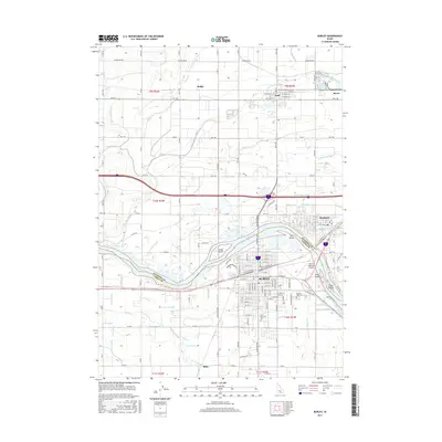
2017 Map of Burley
USGS Topo · Published 2017About this map
The Snake River carves a dividing line between Minidoka and Cassia counties in this high-desert agricultural landscape. The urban centers of Burley and Heyburn dominate the river crossing, where the landscape is intricately carved by several islands including Custer Island, Hog Island, Goat Island, and Crow Island. This 2017 survey reveals the high density of irrigation engineering required for the region's potato and sugar beet economy, visible through a complex web of canals and drains such as the Main Drain, C-1 Canal, and D-Fourteen Drain.
Find a feature on this map
99 named features on this map. Tap any name to fly to it.
Don’t see what you’re looking for? This feature index may not catch every label — zoom into the map to look around manually.
Map Details
Editions of this 2017 Burley Map
This is the sole edition of this map. No revisions or reprints were ever made.
Other maps of this area

1954 · Pocatello
USGS Topo · 1:250,000

1958 · Pocatello
USGS Topo · 1:250,000

1964 · Burley SW
USGS Topo · 1:24,000

1964 · Burley NE
USGS Topo · 1:24,000

1964 · View
USGS Topo · 1:24,000

1964 · Kenyon
USGS Topo · 1:24,000

1964 · Rupert NW
USGS Topo · 1:24,000

1964 · Burley NW
USGS Topo · 1:24,000

1964 · Burley Butte
USGS Topo · 1:24,000

1964 · Rupert SW
USGS Topo · 1:24,000