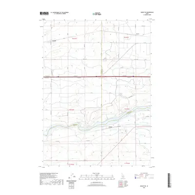
2020 Map of Burley SW
USGS Topo · Published 2020About this map
The Snake River carves through the southern portion of this landscape, marking a significant boundary between Jerome and Cassia counties. The agricultural character of the region is defined by an intricate network of irrigation features, including the G Canal, J Canal, and various water management points like the J Waste Pond. Settlement is concentrated at small named locales such as Schodde and Hynes in the north, and Hobson situated just south of the river.
Find a feature on this map
44 named features on this map. Tap any name to fly to it.
Don’t see what you’re looking for? This feature index may not catch every label — zoom into the map to look around manually.
Map Details
Editions of this 2020 Burley SW Map
This is the sole edition of this map. No revisions or reprints were ever made.
Other maps of this area

1954 · Pocatello
USGS Topo · 1:250,000

1955 · Twin Falls
USGS Topo · 1:250,000

1958 · Twin Falls
USGS Topo · 1:250,000

1958 · Pocatello
USGS Topo · 1:250,000

1964 · Burley SW
USGS Topo · 1:24,000

1964 · Burley NE
USGS Topo · 1:24,000

1964 · Kenyon
USGS Topo · 1:24,000

1964 · Burley NW
USGS Topo · 1:24,000

1964 · Milner
USGS Topo · 1:24,000

1964 · Hazelton NE
USGS Topo · 1:24,000