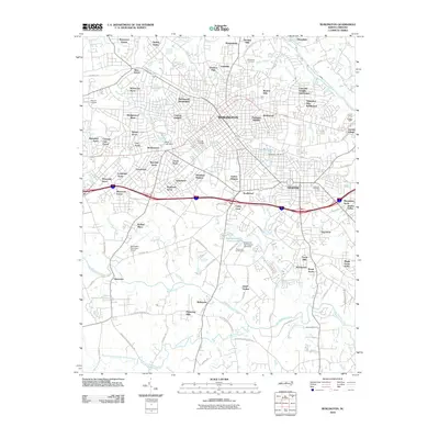
2010 Map of Burlington
USGS Topo · Published 2010About this map
Burlington serves as the central hub of this Piedmont landscape, surrounded by a dense network of residential subdivisions and local industry as it appeared in 2010. The geographic character is defined by the Haw River and its various tributaries, including Little Alamance Creek and Big Alamance Creek, which carve through the terrain south of the urban center. Significant transportation corridors, particularly the interstate running east-west, separate the northern residential districts from southern landmarks like the Burlington Municipal Airport.
Find a feature on this map
109 named features on this map. Tap any name to fly to it.
Don’t see what you’re looking for? This feature index may not catch every label — zoom into the map to look around manually.
Map Details
Editions of this 2010 Burlington Map
This is the sole edition of this map. No revisions or reprints were ever made.
Other maps of this area

1953 · Raleigh
USGS Topo · 1:250,000

1953 · Greensboro
USGS Topo · 1:250,000

1954 · Greensboro
USGS Topo · 1:250,000

1954 · Raleigh
USGS Topo · 1:250,000

1962 · Greensboro
USGS Topo · 1:250,000

1966 · Greensboro
USGS Topo · 1:250,000

1969 · Burlington
USGS Topo · 1:24,000

1969 · Mebane
USGS Topo · 1:24,000

1969 · Lake Burlington
USGS Topo · 1:24,000

1969 · Burlington NE
USGS Topo · 1:24,000