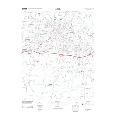
2013 Map of Burlington
USGS Topo · Published 2013About this map
The Haw River and its numerous tributaries, including Little Alamance Cr and Big Alamance Cr, define the drainage of this suburban and rural landscape. In this 2013 edition, the density of residential subdivisions such as Sherwood Forest, Glen Raven, and Dogwood Acres illustrates the decades of growth surrounding the core of Burlington. The southern portion of the map transitions into a more open landscape where Alamance and Bellemont sit amidst larger tracts of land and specialized sites like the Burlington-Alamance Regional Airport.
Find a feature on this map
63 named features on this map. Tap any name to fly to it.
Don’t see what you’re looking for? This feature index may not catch every label — zoom into the map to look around manually.
Map Details
Editions of this 2013 Burlington Map
This is the sole edition of this map. No revisions or reprints were ever made.
Other maps of this area

1953 · Raleigh
USGS Topo · 1:250,000

1953 · Greensboro
USGS Topo · 1:250,000

1954 · Greensboro
USGS Topo · 1:250,000

1954 · Raleigh
USGS Topo · 1:250,000

1962 · Greensboro
USGS Topo · 1:250,000

1966 · Greensboro
USGS Topo · 1:250,000

1969 · Burlington
USGS Topo · 1:24,000

1969 · Mebane
USGS Topo · 1:24,000

1969 · Lake Burlington
USGS Topo · 1:24,000

1969 · Burlington NE
USGS Topo · 1:24,000