
1893 Map of Burlington
USGS Topo · Published 1893About this map
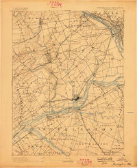
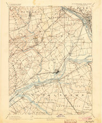
The Delaware River serves as the central artery for commerce and transport in this late 19th-century survey, separating the burgeoning townships of Bucks County, Pennsylvania, from Burlington County, New Jersey. The landscape is defined by its industrial and social infrastructure, featuring the sprawling State Lunatic Asylum near Trenton and numerous maritime access points like Tullytown Wharf and Dunks Ferry. A dense network of rail lines, including the Philadelphia and Newtown Railroad and the Amboy Division Pennsylvania Railroad, reflects a region in transition from rural agriculture to an integrated industrial corridor.
Find a feature on this map
118 named features on this map. Tap any name to fly to it.
Don’t see what you’re looking for? This feature index may not catch every label — zoom into the map to look around manually.
Map Details
Editions of this 1893 Burlington Map
3 editions found
Other maps of this area

1888 · Bordentown
USGS Topo · 1:62,500

1888 · Pemberton
USGS Topo · 1:62,500

1888 · Mount Holly
USGS Topo · 1:62,500

1888 · Princeton
USGS Topo · 1:62,500

1890 · Lambertville
USGS Topo · 1:62,500

1890 · Doylestown
USGS Topo · 1:62,500

1890 · Burlington
USGS Topo · 1:62,500

1891 · Lambertville
USGS Topo · 1:62,500

1891 · Doylestown
USGS Topo · 1:62,500

1891 · Philadelphia
USGS Topo · 1:62,500