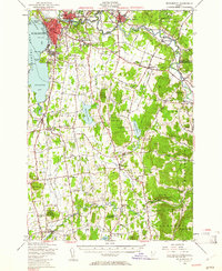
1948 Map of Burlington
USGS Topo · Published 1961About this map
The city of Burlington dominates the eastern shore of Lake Champlain in the late 1940s, showing a detailed urban footprint alongside the University of Vermont and Burlington Bay. The landscape to the east and south transitions into the Vermont countryside, where the Winooski River carves through Essex and Essex Junction. Military and educational institutions are prominent landmarks, including the Fort Ethan Allen Military Reservation and St Michael College.
Find a feature on this map
103 named features on this map. Tap any name to fly to it.
Don’t see what you’re looking for? This feature index may not catch every label — zoom into the map to look around manually.
Map Details
Editions of this 1948 Burlington Map
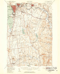
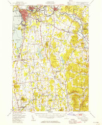
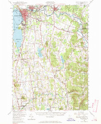
4 editions found
Other maps of this area

1894 · Port Henry
USGS Topo · 1:62,500

1894 · Plattsburg
USGS Topo · 1:62,500

1895 · Willsboro
USGS Topo · 1:62,500

1898 · Port Henry
USGS Topo · 1:62,500

1903 · Middlebury
USGS Topo · 1:62,500

1905 · Middlebury
USGS Topo · 1:62,500

1906 · Plattsburg
USGS Topo · 1:62,500

1906 · Burlington
USGS Topo · 1:62,500

1913 · Milton
USGS Topo · 1:48,000

1915 · Milton
USGS Topo · 1:62,500