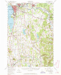
1948 Map of Burlington
USGS Topo · Published 1970About this map
Lake Champlain forms the western boundary of this late-1940s landscape, where the urban center of Burlington and Winooski transitions into the agrarian uplands of Chittenden and Addison counties. The shoreline is marked by prominent points like Lone Rock Point and Red Rock Point, while the interior is defined by the winding course of the Winooski River and the La Platte River. Significant institutional footprints are visible, including the University of Vermont and the Fort Ethan Allen Military Reservation.
Find a feature on this map
92 named features on this map. Tap any name to fly to it.
Don’t see what you’re looking for? This feature index may not catch every label — zoom into the map to look around manually.
Map Details
Editions of this 1948 Burlington Map
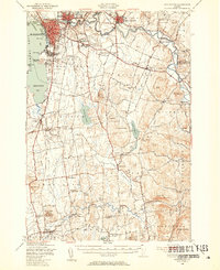
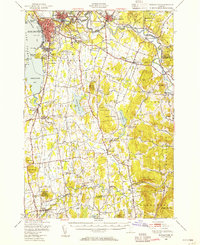
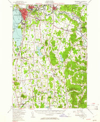
4 editions found
Other maps of this area

1894 · Port Henry
USGS Topo · 1:62,500

1894 · Plattsburg
USGS Topo · 1:62,500

1895 · Willsboro
USGS Topo · 1:62,500

1898 · Port Henry
USGS Topo · 1:62,500

1903 · Middlebury
USGS Topo · 1:62,500

1905 · Middlebury
USGS Topo · 1:62,500

1906 · Plattsburg
USGS Topo · 1:62,500

1906 · Burlington
USGS Topo · 1:62,500

1913 · Milton
USGS Topo · 1:48,000

1915 · Milton
USGS Topo · 1:62,500