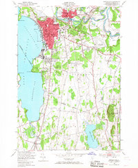
1948 Map of Burlington
USGS Topo · Published 1967About this map
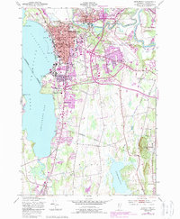
Burlington dominates the eastern shore of Lake Champlain in this post-war survey, showcasing a dense urban core defined by its waterfront industry and civic institutions. The map records the functional landscape of the late 1940s, where the Rutland and Central Vermont railroads converge near Burlington Bay and Union Sta. Beyond the city center, the terrain transitions into the sprawling campus of the University of Vermont and northward toward Winooski, where the Winooski Gorge and various quarries indicate the region's industrial foundations. The eastern portion of the quadrangle is largely occupied by the Fort Ethan Allen Military Reservation and the Burlington Municipal Airport, highlighting the area's strategic and transportation importance during this era. Rural pockets remain in St George and Shelburne, where small schools like St George Sch and numerous windmills dot the landscape near Shelburne Pond.
Find a feature on this map
63 named features on this map. Tap any name to fly to it.
Don’t see what you’re looking for? This feature index may not catch every label — zoom into the map to look around manually.
Map Details
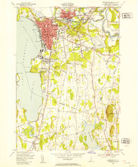
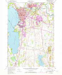
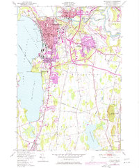
Editions of this 1948 Burlington Map
5 editions found
Other maps of this area

1894 · Plattsburg
USGS Topo · 1:62,500

1895 · Willsboro
USGS Topo · 1:62,500

1906 · Plattsburg
USGS Topo · 1:62,500

1906 · Burlington
USGS Topo · 1:62,500

1913 · Milton
USGS Topo · 1:48,000

1915 · Milton
USGS Topo · 1:62,500

1919 · Burlington
USGS Topo · 1:62,500

1939 · Plattsburg
USGS Topo · 1:62,500

1941 · Plattsburg
USGS Topo · 1:62,500

1941 · Willsboro
USGS Topo · 1:62,500