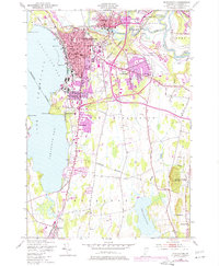
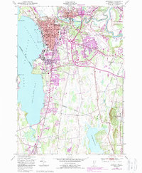
1948 Map of Burlington
USGS Topo · Published 1977About this map
Burlington dominates this mid-century lakeshore landscape, where the street grid presses against the waters of Burlington Bay. The 1948 survey, updated with 1972 aerial revisions, shows the city's growth alongside institutional anchors like the University of Vermont and St Michael College. While the core is densely developed around landmarks such as the Courthouse and Union Sta, the map captures the transition to suburban expansion in South Burlington and the development of the Burlington International Airport.
Find a feature on this map
60 named features on this map. Tap any name to fly to it.
Don’t see what you’re looking for? This feature index may not catch every label — zoom into the map to look around manually.
Map Details
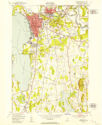
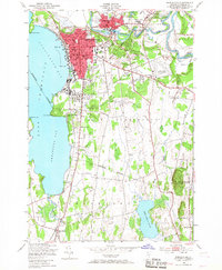
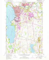
Editions of this 1948 Burlington Map
5 editions found
Other maps of this area

1894 · Plattsburg
USGS Topo · 1:62,500

1895 · Willsboro
USGS Topo · 1:62,500

1906 · Plattsburg
USGS Topo · 1:62,500

1906 · Burlington
USGS Topo · 1:62,500

1913 · Milton
USGS Topo · 1:48,000

1915 · Milton
USGS Topo · 1:62,500

1919 · Burlington
USGS Topo · 1:62,500

1939 · Plattsburg
USGS Topo · 1:62,500

1941 · Plattsburg
USGS Topo · 1:62,500

1941 · Willsboro
USGS Topo · 1:62,500