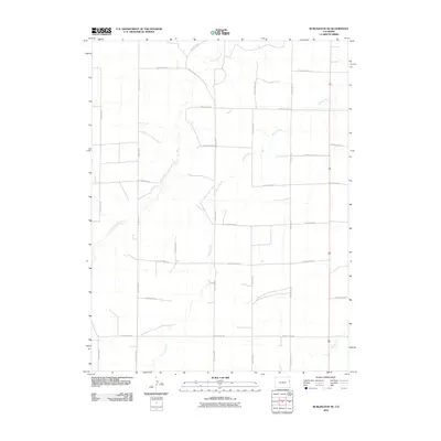
2010 Map of Burlington NE
USGS Topo · Published 2010About this map
Landsman Creek and Bonny Creek wind through this high plains section of Kit Carson County, revealing the sparse drainage patterns that dictate the landscape's layout. The terrain is organized by a strict geometric grid of rural routes, including County Road JJ, County Road HH, and County Road FF, reflecting the late-century agricultural development and land management of the region. This 2010 survey by the U.S. Geological Survey shows how modern transportation lines interact with traditional watercourses like Beaver Creek in the southeastern corner. For the researcher, the map provides a precise account of the rural infrastructure at the start of the 21st century, where the intersection of named county roads serves as the primary landmark for homesteads and regional navigation.
Find a feature on this map
19 named features on this map. Tap any name to fly to it.
Don’t see what you’re looking for? This feature index may not catch every label — zoom into the map to look around manually.
Map Details
Editions of this 2010 Burlington NE Map
This is the sole edition of this map. No revisions or reprints were ever made.
Other maps of this area

1950 · Bonny Reservoir
USGS Topo · 1:62,500

1954 · Limon
USGS Topo · 1:250,000

1957 · Limon
USGS Topo · 1:250,000

1958 · Limon
USGS Topo · 1:250,000

1969 · Settlement
USGS Topo · 1:24,000

1969 · Bethune
USGS Topo · 1:24,000

1969 · Burlington
USGS Topo · 1:24,000

1969 · Idalia SE
USGS Topo · 1:24,000

1969 · Idalia SW
USGS Topo · 1:24,000

1969 · Peconic
USGS Topo · 1:24,000