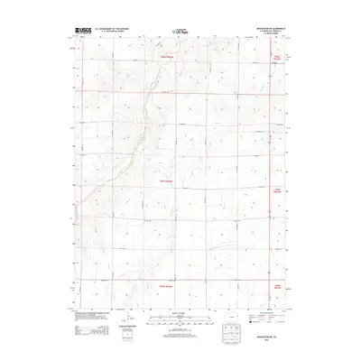
2013 Map of Burlington NE
USGS Topo · Published 2013About this map
Landsman Creek and the meandering channels of Bonny Cr define the high plains landscape of Kit Carson County in this 2013 survey. The terrain is characterized by a strict section-line road grid that overlays the natural drainage systems of the Republican River basin. This geometric network, consisting of routes such as Co Road JJ and Co Road FF, highlights the enduring influence of the Public Land Survey System on Colorado's agricultural interior.
Find a feature on this map
26 named features on this map. Tap any name to fly to it.
Don’t see what you’re looking for? This feature index may not catch every label — zoom into the map to look around manually.
Map Details
Editions of this 2013 Burlington NE Map
This is the sole edition of this map. No revisions or reprints were ever made.
Other maps of this area

1950 · Bonny Reservoir
USGS Topo · 1:62,500

1954 · Limon
USGS Topo · 1:250,000

1957 · Limon
USGS Topo · 1:250,000

1958 · Limon
USGS Topo · 1:250,000

1969 · Settlement
USGS Topo · 1:24,000

1969 · Bethune
USGS Topo · 1:24,000

1969 · Burlington
USGS Topo · 1:24,000

1969 · Idalia SE
USGS Topo · 1:24,000

1969 · Idalia SW
USGS Topo · 1:24,000

1969 · Peconic
USGS Topo · 1:24,000