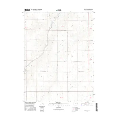
2016 Map of Burlington NE
USGS Topo · Published 2016About this map
Landsman Creek cuts a distinct north-south path through this portion of Kit Carson County, carving the most prominent topographical relief into an otherwise steady agricultural landscape. The terrain is organized by a strict grid of county roads, such as Co Rd JJ and Co Rd BB, which define the section lines and manage the vast open spaces of the High Plains. These corridors are essential to the rural economy, linking isolated homesteads and farm operations to larger regional hubs.
Find a feature on this map
23 named features on this map. Tap any name to fly to it.
Don’t see what you’re looking for? This feature index may not catch every label — zoom into the map to look around manually.
Map Details
Editions of this 2016 Burlington NE Map
This is the sole edition of this map. No revisions or reprints were ever made.
Other maps of this area

1950 · Bonny Reservoir
USGS Topo · 1:62,500

1954 · Limon
USGS Topo · 1:250,000

1957 · Limon
USGS Topo · 1:250,000

1958 · Limon
USGS Topo · 1:250,000

1969 · Settlement
USGS Topo · 1:24,000

1969 · Bethune
USGS Topo · 1:24,000

1969 · Burlington
USGS Topo · 1:24,000

1969 · Idalia SE
USGS Topo · 1:24,000

1969 · Idalia SW
USGS Topo · 1:24,000

1969 · Peconic
USGS Topo · 1:24,000