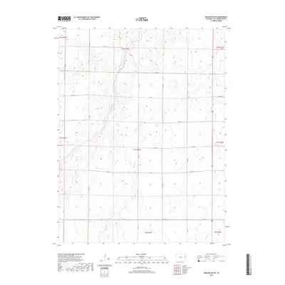
2019 Map of Burlington NE
USGS Topo · Published 2019About this map
Landsman Creek winds through the northern reaches of this Kit Carson County landscape, forming a natural drainage pattern that dictates the layout of the local section lines and rural infrastructure. The terrain is defined by the high plains of eastern Colorado, where a systematic grid of county roads, such as Co Rd 88 and Co Rd Jj, provides access to expansive agricultural plots and ranchlands. The presence of seasonal waterways like Bonny Cr and Beaver Cr highlights the hydrologic importance of these small tributaries in an otherwise dry, open environment. This survey captures the region as a purely rural expanse, dominated by the Public Land Survey System boundaries including t7s r44w and t6s r44w, reflecting a landscape dedicated to long-term dryland farming and livestock operations without the encroachment of urban development.
Find a feature on this map
24 named features on this map. Tap any name to fly to it.
Don’t see what you’re looking for? This feature index may not catch every label — zoom into the map to look around manually.
Map Details
Editions of this 2019 Burlington NE Map
This is the sole edition of this map. No revisions or reprints were ever made.
Other maps of this area

1950 · Bonny Reservoir
USGS Topo · 1:62,500

1954 · Limon
USGS Topo · 1:250,000

1957 · Limon
USGS Topo · 1:250,000

1958 · Limon
USGS Topo · 1:250,000

1969 · Settlement
USGS Topo · 1:24,000

1969 · Bethune
USGS Topo · 1:24,000

1969 · Burlington
USGS Topo · 1:24,000

1969 · Idalia SE
USGS Topo · 1:24,000

1969 · Idalia SW
USGS Topo · 1:24,000

1969 · Peconic
USGS Topo · 1:24,000