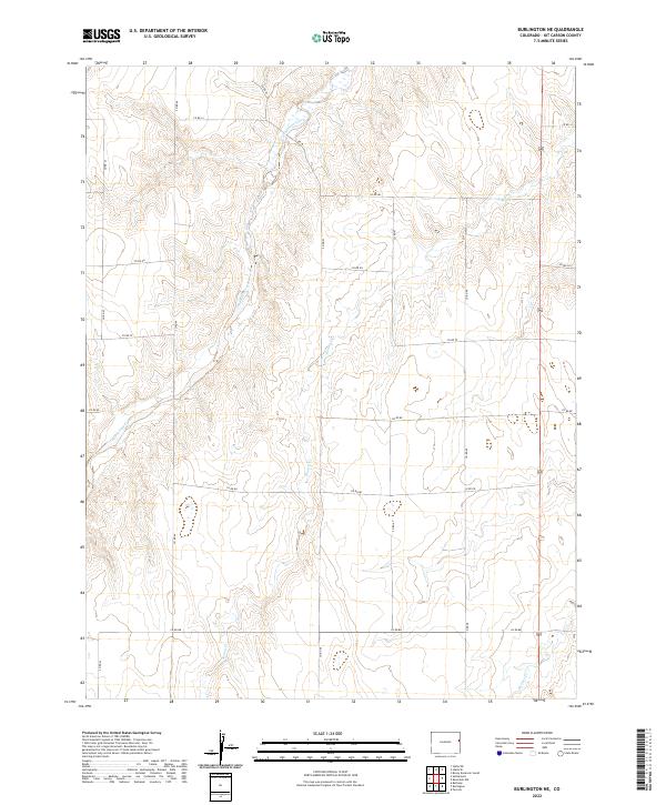
2022 Map of Burlington NE
USGS Topo · Published 2022About this map
Landsman Creek and Bonny Cr define the drainage patterns of this high plains landscape in eastern Kit Carson County. The map captures a strictly agricultural grid, where the movement of water and the orientation of section-line roads dictate the local geography. The topography is shaped by the subtle descent of ephemeral watercourses like Beaver Cr toward the south and east. This environment is structured by an extensive network of county roads, including Co RD JJ in the north and Co RD 88 in the south, which serve as the primary lifelines for the sparse homesteads and ranching operations characteristic of this part of the Colorado borderlands. The layout of these routes, such as Co RD 45 and Co RD 46, reflects the enduring legacy of the Public Land Survey System, dividing the territory into clear townships and ranges.
Find a feature on this map
24 named features on this map. Tap any name to fly to it.
Don’t see what you’re looking for? This feature index may not catch every label — zoom into the map to look around manually.
Map Details
Editions of this 2022 Burlington NE Map
This is the sole edition of this map. No revisions or reprints were ever made.
Other maps of this area

1950 · Bonny Reservoir
USGS Topo · 1:62,500

1954 · Limon
USGS Topo · 1:250,000

1957 · Limon
USGS Topo · 1:250,000

1958 · Limon
USGS Topo · 1:250,000

1969 · Settlement
USGS Topo · 1:24,000

1969 · Bethune
USGS Topo · 1:24,000

1969 · Burlington
USGS Topo · 1:24,000

1969 · Idalia SE
USGS Topo · 1:24,000

1969 · Idalia SW
USGS Topo · 1:24,000

1969 · Peconic
USGS Topo · 1:24,000