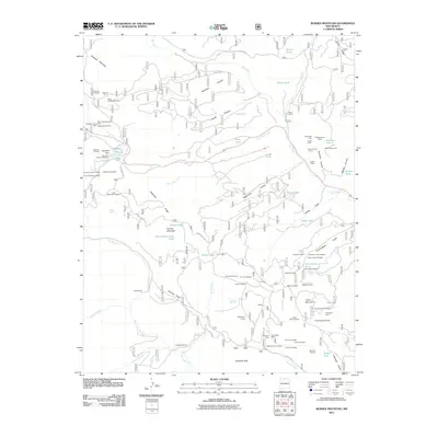
2011 Map of Burned Mountain
USGS Topo · Published 2011About this map
Jawbone Mountain dominates the northern skyline of this Rio Arriba County landscape, where the terrain is marked by an extensive legacy of mineral extraction. Mining claims and prospects are scattered throughout the high country, including the Sunrise Mine, Lexington Lode, and Whale Group Mine. These workings follow the complex geological formations of Buckhorn Canyon and Espinosa Canyon, pointing to a history of prospecting that sought riches in the deep gulches and rocky ridges.
Find a feature on this map
94 named features on this map. Tap any name to fly to it.
Don’t see what you’re looking for? This feature index may not catch every label — zoom into the map to look around manually.
Map Details
Editions of this 2011 Burned Mountain Map
This is the sole edition of this map. No revisions or reprints were ever made.
Other maps of this area

1918 · Tusas
USGS Topo · 1:125,000

1954 · Aztec
USGS Topo · 1:250,000

1955 · Cebolla
USGS Topo · 1:62,500

1955 · Brazos Peak
USGS Topo · 1:62,500

1958 · Aztec
USGS Topo · 1:250,000

1962 · Aztec
USGS Topo · 1:250,000
1963 · Las Tablas
USGS Topo · 1:24,000

1963 · Broke Off Mountain
USGS Topo · 1:24,000

1963 · Burned Mountain
USGS Topo · 1:24,000
1963 · San Antonio Mountain
USGS Topo · 1:24,000