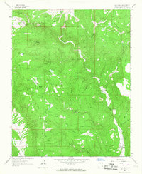
1963 Map of Las Tablas
USGS Topo · Published 1967About this map
Carson National Forest defines the high-altitude landscape of this northern New Mexico quadrangle, where the Rio Tusas and Rio Vallecitos carve through high plateaus. The topography is dominated by the massive Mesa de la Jarita and the prominent Kiowa Mountain, rising above a network of seasonal drainages like Cleveland Gulch and Agua Cañada. This mid-century survey documents a region defined by its small mountain settlements and a legacy of mining activity, with operations such as the Lonesome Mine and Apache No 2 Mine scattered across the rugged terrain.
Find a feature on this map
32 named features on this map. Tap any name to fly to it.
Don’t see what you’re looking for? This feature index may not catch every label — zoom into the map to look around manually.
Map Details
Editions of this 1963 Las Tablas Map
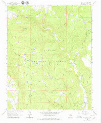
2 editions found
Other maps of this area

1918 · Abiquiu
USGS Topo · 1:125,000

1918 · Tusas
USGS Topo · 1:125,000

1953 · Valle Grande Peak
USGS Topo · 1:24,000

1953 · La Madera
USGS Topo · 1:24,000

1954 · Raton
USGS Topo · 1:250,000

1954 · Aztec
USGS Topo · 1:250,000

1958 · Raton
USGS Topo · 1:250,000

1958 · Aztec
USGS Topo · 1:250,000

1961 · Servilleta Plaza
USGS Topo · 1:24,000

1962 · Aztec
USGS Topo · 1:250,000