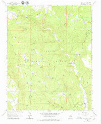
1963 Map of Las Tablas
USGS Topo · Published 1979About this map
Carson National Forest encompasses much of this 1963 New Mexico landscape, dominated by the high-elevation terrain of Kiowa Mountain and the prominent Tusas Ridge. The settlement of Petaca sits near the southeastern corner, where a local Cem and several nearby mines point to the area's small-scale extractive history. The network of drainage and springs, including the Rio Tusas and the winding Box Canyon, dictates the movement across this complex topography.
Find a feature on this map
30 named features on this map. Tap any name to fly to it.
Don’t see what you’re looking for? This feature index may not catch every label — zoom into the map to look around manually.
Map Details
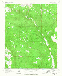
Editions of this 1963 Las Tablas Map
2 editions found
Other maps of this area

1918 · Abiquiu
USGS Topo · 1:125,000

1918 · Tusas
USGS Topo · 1:125,000

1953 · Valle Grande Peak
USGS Topo · 1:24,000

1953 · La Madera
USGS Topo · 1:24,000

1954 · Raton
USGS Topo · 1:250,000

1954 · Aztec
USGS Topo · 1:250,000

1958 · Raton
USGS Topo · 1:250,000

1958 · Aztec
USGS Topo · 1:250,000

1961 · Servilleta Plaza
USGS Topo · 1:24,000

1962 · Aztec
USGS Topo · 1:250,000