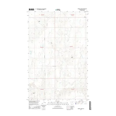
2017 Map of Burnett Creek
USGS Topo · Published 2017About this map
Desert Claim Reservoir sits as a primary water source in this northern Montana landscape, where the drainage patterns of Valley County are etched into the terrain via numerous coulees and creek forks. The map reveals a remote ranching environment defined by wide seasonal watercourses like Willow Cr and Chisholm Cr, which carve through the land to create features such as Badland Coulee and Rock Creek Canyon.
Find a feature on this map
24 named features on this map. Tap any name to fly to it.
Don’t see what you’re looking for? This feature index may not catch every label — zoom into the map to look around manually.
Map Details
Editions of this 2017 Burnett Creek Map
This is the sole edition of this map. No revisions or reprints were ever made.
Other maps of this area

1919 · Boundary
USGS Topo · 1:125,000

1954 · Glasgow
USGS Topo · 1:250,000

1957 · Glasgow
USGS Topo · 1:250,000

1958 · Glasgow
USGS Topo · 1:250,000

1984 · Laundry Hill
USGS Topo · 1:24,000

1984 · Snake Creek School
USGS Topo · 1:24,000

1984 · Opheim
USGS Topo · 1:100,000
1984 · Jones Coulee
USGS Topo · 1:24,000

1984 · Gay Dam
USGS Topo · 1:24,000

1984 · Last Chance Reservoir
USGS Topo · 1:24,000