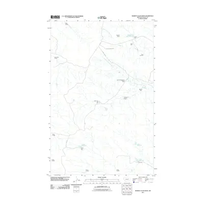
2011 Map of Burnett Flats West
USGS Topo · Published 2011About this map
Burnett Flats dominates this portion of Valley County, characterized by a complex network of ephemeral coulees and an extensive system of small-scale water management. The landscape is defined by its industrial and agricultural infrastructure, notably the Bentonite Number 1 Mine and Bentonite Number 2 Mine situated in the northern reaches. These sites, coupled with the presence of Burnett Spur Rd, indicate the specific mineral extraction history of this Montana plains region.
Find a feature on this map
25 named features on this map. Tap any name to fly to it.
Don’t see what you’re looking for? This feature index may not catch every label — zoom into the map to look around manually.
Map Details
Editions of this 2011 Burnett Flats West Map
This is the sole edition of this map. No revisions or reprints were ever made.
Other maps of this area

1954 · Jordan
USGS Topo · 1:250,000

1954 · Glasgow
USGS Topo · 1:250,000

1956 · Jordan
USGS Topo · 1:250,000

1957 · Glasgow
USGS Topo · 1:250,000

1958 · Glasgow
USGS Topo · 1:250,000

1958 · Jordan
USGS Topo · 1:250,000

1964 · Jordan
USGS Topo · 1:250,000
1973 · Triple Crossing Reservoir East
USGS Topo · 1:24,000

1973 · Triple Crossing Reservoir West
USGS Topo · 1:24,000

1973 · Niles Coulee
USGS Topo · 1:24,000