
1973 Map of Niles Coulee
USGS Topo · Published 1976About this map
Deep water drainage systems and isolated cattle reservoirs define this portion of Valley County, mapped as part of the Department of the Interior's Missouri River Basin development program. The landscape is carved by substantial coulees, most notably North Frenchman Coulee and Little Frenchman Coulee, which channel seasonal runoff toward the south. Evidence of ranching and land management appears in the scattered naming of small catchments like Corral Reservoir and the family-named Mr Kee Reservoir, alongside the aptly named High Moon Reservoir.
Find a feature on this map
19 named features on this map. Tap any name to fly to it.
Don’t see what you’re looking for? This feature index may not catch every label — zoom into the map to look around manually.
Map Details
Editions of this 1973 Niles Coulee Map
This is the sole edition of this map. No revisions or reprints were ever made.
Other maps of this area

1954 · Jordan
USGS Topo · 1:250,000

1954 · Glasgow
USGS Topo · 1:250,000

1956 · Jordan
USGS Topo · 1:250,000

1957 · Glasgow
USGS Topo · 1:250,000

1958 · Glasgow
USGS Topo · 1:250,000

1958 · Jordan
USGS Topo · 1:250,000

1964 · Jordan
USGS Topo · 1:250,000

1973 · Triple Crossing Reservoir West
USGS Topo · 1:24,000
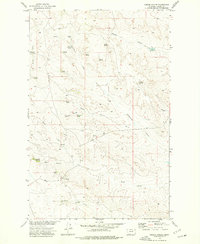
1973 · Gibson Coulee
USGS Topo · 1:24,000
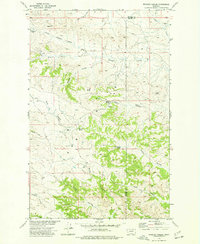
1973 · Whiskey Coulee
USGS Topo · 1:24,000