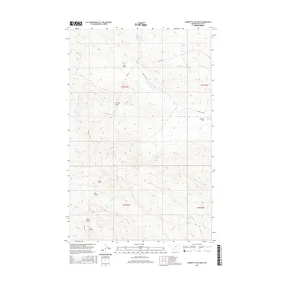
2017 Map of Burnett Flats West
USGS Topo · Published 2017About this map
Burnett Flats and the surrounding high plains of Valley County define this landscape, where early 21st-century ranching and water management are evident in a series of remote catchments. The drainage network is characterized by deep incisions such as Road Coulee, Hammond Coulee, and Grant Coulee, which channel seasonal runoff toward larger tributaries like the S Fork Little Beaver Cr and N Fork Lone Tree Cr. Small-scale reservoirs including Badger Reservoir, Somers Reservoir, and Clover Reservoir are scattered across the terrain, serving as critical infrastructure for livestock in this arid region. The surveyor's grid is articulated by isolated routes such as Bentonite Rd, Ridge Rd, and Burnett Spur Rd, reflecting the sparse, utilitarian transport patterns of northeastern Montana.
Find a feature on this map
21 named features on this map. Tap any name to fly to it.
Don’t see what you’re looking for? This feature index may not catch every label — zoom into the map to look around manually.
Map Details
Editions of this 2017 Burnett Flats West Map
This is the sole edition of this map. No revisions or reprints were ever made.
Other maps of this area

1954 · Jordan
USGS Topo · 1:250,000

1954 · Glasgow
USGS Topo · 1:250,000

1956 · Jordan
USGS Topo · 1:250,000

1957 · Glasgow
USGS Topo · 1:250,000

1958 · Glasgow
USGS Topo · 1:250,000

1958 · Jordan
USGS Topo · 1:250,000

1964 · Jordan
USGS Topo · 1:250,000
1973 · Triple Crossing Reservoir East
USGS Topo · 1:24,000

1973 · Triple Crossing Reservoir West
USGS Topo · 1:24,000

1973 · Niles Coulee
USGS Topo · 1:24,000