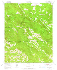
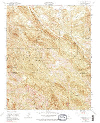
1949 Map of Burnett Peak
USGS Topo · Published 1965About this map
Santa Lucia Range topography dominates this mid-century survey, where the rugged border between Monterey and San Luis Obispo Counties cuts through steep canyons and high ridges. Significant land use is defined by the Hunter Liggett Military Reservation and the Los Padres National Forest, illustrating a landscape preserved for military training and natural resources rather than civilian settlement. The Nacimiento River carves a path through the terrain, passing through a narrow constriction known as The Shut-in. Numerous seasonal drainages such as El Piojo Creek, Salmon Creek, and Burnett Creek feed the river system, while named high points like Burnett Peak, Crystal Knob, and Bald Mtn serve as landmarks across the complex ridgelines. Geologic features like The Palisades and Piedras Altas highlight the dramatic rock formations typical of this coastal range.
Find a feature on this map
30 named features on this map. Tap any name to fly to it.
Don’t see what you’re looking for? This feature index may not catch every label — zoom into the map to look around manually.
Map Details
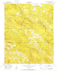
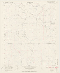
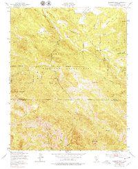
Editions of this 1949 Burnett Peak Map
5 editions found
Other maps of this area

1919 · Bryson
USGS Topo · 1:62,500

1919 · Piedras Blancas
USGS Topo · 1:62,500

1919 · San Simeon
USGS Topo · 1:62,500

1921 · Cape San Martin
USGS Topo · 1:62,500

1927 · Piedras Blancas
USGS Topo · 1:62,500

1937 · San Simeon
USGS Topo · 1:62,500

1941 · Cape San Martin
USGS Topo · 1:62,500

1941 · Bryson
USGS Topo · 1:62,500

1942 · Bryson
USGS Topo · 1:62,500

1942 · Cape San Martin
USGS Topo · 1:62,500