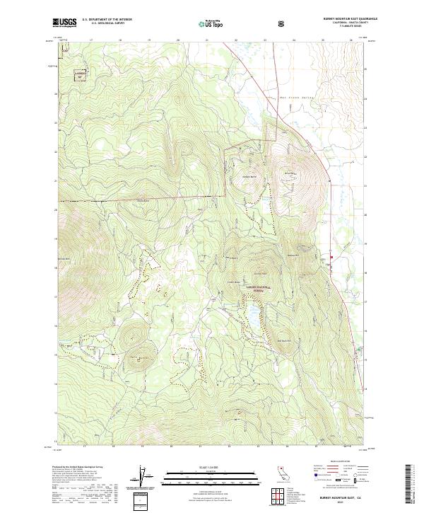
2021 Map of Burney Mountain East
USGS Topo · Published 2021About this map
Burney Mtn and a series of volcanic features define this high-elevation landscape within the Lassen National Forest. The map detail reveals the distinct isolation of cinder cones and prominent peaks, including Brown Butte, Dudgen Butte, and Cornaz Peak, which rise above the surrounding flats and valleys. This 2021 survey traces the modern road network, from Ca 89 through the Hat Creek Valley to the more remote timber roads like McCloud South and East Red Rock. Water is a scarce but critical resource in this terrain, marked by scattered points like Cornaz Spring, Pot Spring, and the small Cornaz Lake. This modern record of the eastern slopes of the southern Cascades serves as a precise guide for understanding the drainage patterns into Hat Cr and the topographical complexity of the northern California wilderness.
Find a feature on this map
33 named features on this map. Tap any name to fly to it.
Don’t see what you’re looking for? This feature index may not catch every label — zoom into the map to look around manually.
Map Details
Editions of this 2021 Burney Mountain East Map
This is the sole edition of this map. No revisions or reprints were ever made.
Other maps of this area

1886 · Lassen Peak
USGS Topo · 1:250,000

1892 · Lassen Peak
USGS Topo · 1:250,000

1894 · Lassen Peak
USGS Topo · 1:250,000

1935 · Burney
USGS Topo · 1:96,000

1939 · Burney
USGS Topo · 1:125,000

1939 · Halls Flat
USGS Topo · 1:125,000

1955 · Westwood
USGS Topo · 1:250,000

1956 · Manzanita Lake
USGS Topo · 1:62,500

1957 · Prospect Peak
USGS Topo · 1:62,500

1957 · Burney
USGS Topo · 1:62,500