
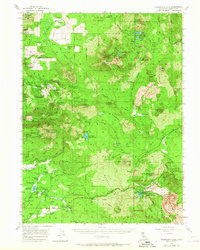
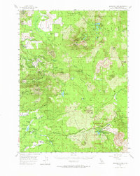
1956 Map of Manzanita Lake
USGS Topo · Published 1958About this map
Thousand Lakes Wild Area and the volcanic landscape of Lassen Volcanic National Park dominate this mid-century survey of the Cascade Range. The map details a rugged transition from the timbered reaches of Latour State Forest to the dramatic geology of Chaos Crags and the Chaos Jumbles. Evidence of early settlement and land use is visible in the scattered cattle operations like Armstrong Ranch and Scharsch Ranch, alongside the site of Whittington Place and the community of Viola.
Find a feature on this map
122 named features on this map. Tap any name to fly to it.
Don’t see what you’re looking for? This feature index may not catch every label — zoom into the map to look around manually.
Map Details
Editions of this 1956 Manzanita Lake Map
3 editions found
Other maps of this area

1886 · Lassen Peak
USGS Topo · 1:250,000

1892 · Lassen Peak
USGS Topo · 1:250,000

1894 · Lassen Peak
USGS Topo · 1:250,000

1935 · Burney
USGS Topo · 1:96,000

1935 · Paynes Creek
USGS Topo · 1:96,000

1939 · Burney
USGS Topo · 1:125,000

1939 · Halls Flat
USGS Topo · 1:125,000

1941 · Mineral
USGS Topo · 1:125,000

1955 · Westwood
USGS Topo · 1:250,000

1956 · Lassen Peak
USGS Topo · 1:62,500