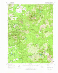
1956 Map of Manzanita Lake
USGS Topo · Published 1974About this map
Lassen Volcanic National Park and the high volcanic peaks of the Cascades dominate this mid-century survey, revealing a landscape defined by dramatic geological formations and early forestry infrastructure. The map documents the jagged topography of the Chaos Crags and the massive debris flow of the Chaos Jumbles, leading toward the clear waters of Manzanita Lake. To the north and west, the Latour State Forest and Thousand Lakes Wild Area show a network of primitive access points like The Corduroy Road and the Old Emigrant Road.
Find a feature on this map
100 named features on this map. Tap any name to fly to it.
Don’t see what you’re looking for? This feature index may not catch every label — zoom into the map to look around manually.
Map Details
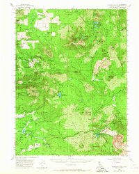
Editions of this 1956 Manzanita Lake Map
3 editions found

Other maps of this area

1886 · Lassen Peak
USGS Topo · 1:250,000

1892 · Lassen Peak
USGS Topo · 1:250,000

1894 · Lassen Peak
USGS Topo · 1:250,000

1935 · Burney
USGS Topo · 1:96,000

1935 · Paynes Creek
USGS Topo · 1:96,000

1939 · Burney
USGS Topo · 1:125,000

1939 · Halls Flat
USGS Topo · 1:125,000

1941 · Mineral
USGS Topo · 1:125,000

1955 · Westwood
USGS Topo · 1:250,000

1956 · Lassen Peak
USGS Topo · 1:62,500