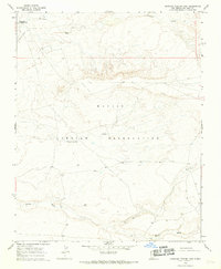
1966 Map of Burnham Trading Post
USGS Topo · Published 1969About this map
Navajo Indian Reservation lands in the mid-1960s were defined by a sparse network of trading outposts and seasonal watercourses. The Burnham Trading Post serves as a primary navigational and social landmark in this high desert landscape, supported by a nearby Landing Strip. The terrain is deeply etched by the westward-flowing Brimhall Wash and Hunter Wash, which dominate the local topography and likely dictated the movement of livestock and people. Industrial activity is minimal but present, evidenced by a solitary Mine and a Drill Hole located in the southern reaches of the quadrangle. The inclusion of Tee-ni-di-tso highlights the localized nomenclature of the area, while dotted land lines established by the Bureau of Indian Affairs Survey indicate the ongoing administrative mapping of these ancestral lands during the post-war era.
Find a feature on this map
11 named features on this map. Tap any name to fly to it.
Don’t see what you’re looking for? This feature index may not catch every label — zoom into the map to look around manually.
Map Details
Editions of this 1966 Burnham Trading Post Map
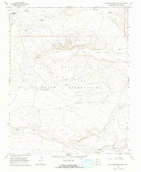
2 editions found
Other maps of this area

1889 · Chaco
USGS Topo · 1:250,000

1892 · Chaco
USGS Topo · 1:250,000

1927 · Sulphur Spring
USGS Topo · 1:96,000

1928 · Kirtland
USGS Topo · 1:125,000

1932 · Kirtland
USGS Topo · 1:125,000

1954 · Shiprock
USGS Topo · 1:250,000

1958 · Shiprock
USGS Topo · 1:250,000

1959 · Shiprock
USGS Topo · 1:250,000
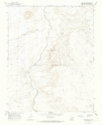
1966 · Newcomb NE
USGS Topo · 1:24,000
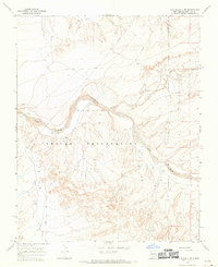
1966 · The Pillar 3 NE
USGS Topo · 1:24,000