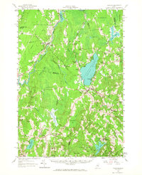
1957 Map of Burnham
USGS Topo · Published 1967About this map
The Sebasticook River winds through the heart of this central Maine landscape, where the Maine Central Railroad intersects with rural life at Burnham Junc.. The settlement pattern of the 1950s reflects a network of tightly knit crossroads and school districts, such as Troy Central Sch and Thorndike Center Sch. Large water bodies like Unity Pond and Sandy Pond dominate the hydrology of the Kennebec and Waldo county lines, while numerous bogs, including Fowler Bog, suggest a landscape defined by glacial deposits and slow-moving drainage.
Find a feature on this map
92 named features on this map. Tap any name to fly to it.
Don’t see what you’re looking for? This feature index may not catch every label — zoom into the map to look around manually.
Map Details
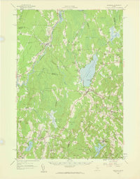
Editions of this 1957 Burnham Map
2 editions found
Other maps of this area

1892 · Waterville
USGS Topo · 1:62,500

1893 · Vassalboro
USGS Topo · 1:62,500

1898 · Vassalboro
USGS Topo · 1:62,500

1913 · Skowhegan
USGS Topo · 1:62,500

1915 · Belfast
USGS Topo · 1:62,500

1916 · Liberty
USGS Topo · 1:62,500

1917 · Belfast
USGS Topo · 1:62,500

1926 · Burnham
USGS Topo · 1:62,500

1930 · Pittsfield
USGS Topo · 1:48,000

1931 · Stetson
USGS Topo · 1:48,000