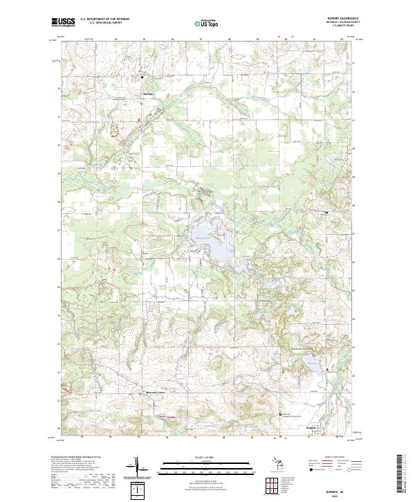
2023 Map of Burnips
USGS Topo · Published 2023About this map
Burnips and Monterey Center anchor this agricultural landscape in northeastern Allegan County, where the terrain is defined by a complex drainage system of the Little Rabbit River and Rabbit River. The map reveals a high density of small lakes and wetlands toward the center and south, including Monterey Lake, Shipp Lake, and East Lake. This hydrography significantly shapes the local road network and land use, leaving pockets of uncultivated woodlots and the Beechwood Hills Camp recreation area among the township sections.
Find a feature on this map
57 named features on this map. Tap any name to fly to it.
Don’t see what you’re looking for? This feature index may not catch every label — zoom into the map to look around manually.
Map Details
Editions of this 2023 Burnips Map
This is the sole edition of this map. No revisions or reprints were ever made.
Other maps of this area

1914 · Grand Rapids
USGS Topo · 1:62,500

1943 · Grand Rapids
USGS Topo · 1:62,500

1958 · Allegan
USGS Topo · 1:62,500

1958 · Grandville
USGS Topo · 1:62,500

1958 · Grand Rapids
USGS Topo · 1:250,000

1959 · Wayland
USGS Topo · 1:62,500

1961 · Grand Rapids
USGS Topo · 1:250,000

1962 · Grand Rapids
USGS Topo · 1:250,000
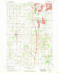
1967 · Cutlerville
USGS Topo · 1:24,000
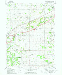
1980 · Hudsonville West
USGS Topo · 1:24,000