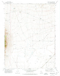
1971 Map of Burns Knoll
USGS Topo · Published 1974About this map
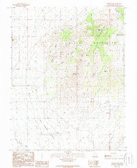
The arid landscape of the Escante Desert dominates this southwestern Utah quadrangle, captured in the early 1970s. This survey records a geography defined by its reliance on isolated water sources, featuring numerous named extraction points like Moonshine Well, Lamoreaux Well, and Blue Mtn Well. The terrain is marked by distinct volcanic or sedimentary elevations, including Burns Knoll and Can Knoll, which provided natural landmarks for the surveyors.
Find a feature on this map
16 named features on this map. Tap any name to fly to it.
Don’t see what you’re looking for? This feature index may not catch every label — zoom into the map to look around manually.
Map Details
Editions of this 1971 Burns Knoll Map
This is the sole edition of this map. No revisions or reprints were ever made.
Other maps of this area

1953 · Richfield
USGS Topo · 1:250,000

1958 · Richfield
USGS Topo · 1:250,000

1958 · Thermo
USGS Topo · 1:62,500

1958 · Milford
USGS Topo · 1:62,500

1959 · Frisco
USGS Topo · 1:62,500
1971 · Lund
USGS Topo · 1:24,000
1971 · Latimer
USGS Topo · 1:24,000
1971 · Blue Mountain
USGS Topo · 1:24,000

1980 · Wah Wah Mts. South
USGS Topo · 1:100,000
1989 · Badger Peak
USGS Topo · 1:24,000