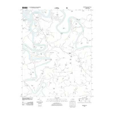
2010 Map of Burnside
USGS Topo · Published 2010About this map
Lake Cumberland and the Big South Fork Cumberland River dominate this Pulaski County landscape, where deep-cut valleys and sharp ridges define the local geography. The community of Burnside sits at the northern confluence, while smaller settlements like Tateville, Sloans Valley, and Alpine are positioned along the primary transit corridor to the east. The terrain is marked by numerous family-named landmarks and hollows, such as Sugartree Hollow and Dead Ox Hollow, reflecting a long history of rural land use and timber harvesting.
Find a feature on this map
87 named features on this map. Tap any name to fly to it.
Don’t see what you’re looking for? This feature index may not catch every label — zoom into the map to look around manually.
Map Details
Editions of this 2010 Burnside Map
This is the sole edition of this map. No revisions or reprints were ever made.
Other maps of this area

1890 · Williamsburg
USGS Topo · 1:125,000

1893 · London
USGS Topo · 1:125,000

1894 · Williamsburg
USGS Topo · 1:125,000

1897 · London
USGS Topo · 1:125,000

1932 · Burnside
USGS Topo · 1:62,500

1935 · Somerset
USGS Topo · 1:62,500

1952 · Hail
USGS Topo · 1:24,000

1952 · Wiborg
USGS Topo · 1:24,000

1952 · Dykes
USGS Topo · 1:24,000

1953 · Frazer
USGS Topo · 1:24,000