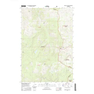
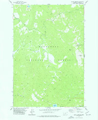
2017 Map of Burnt Fork Lake
USGS Topo · Published 2017About this map
Burnt Fork Lake and the surrounding alpine terrain of the Sapphire Mountains dominate this 2017 study of the high country straddling the Granite and Ravalli County line. The landscape is defined by its dramatic hydrography, with the Burnt Fork Bitterroot River and its numerous tributaries, including Little Burnt Fork and Signal Creek, carving through deep basins. This map illustrates the convergence of three major national forests—the Bitterroot, Lolo, and Deerlodge—marking a significant administrative junction in the Montana wilderness.
Find a feature on this map
29 named features on this map. Tap any name to fly to it.
Don’t see what you’re looking for? This feature index may not catch every label — zoom into the map to look around manually.
Map Details
Editions of this 2017 Burnt Fork Lake Map
This is the sole edition of this map. No revisions or reprints were ever made.
Other maps of this area

1909 · Sapphire
USGS Topo · 1:125,000

1947 · Butte
USGS Topo · 1:250,000

1958 · Butte
USGS Topo · 1:250,000

1960 · Butte
USGS Topo · 1:250,000

1962 · Butte
USGS Topo · 1:250,000

1971 · Stony Creek
USGS Topo · 1:24,000
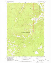
1974 · Stony Creek
USGS Topo · 1:24,000
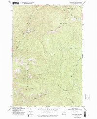
1974 · Skalkaho Pass
USGS Topo · 1:24,000
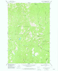
1974 · Burnt Fork Lake
USGS Topo · 1:24,000
1974 · Mount Emerine
USGS Topo · 1:24,000