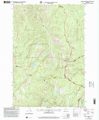
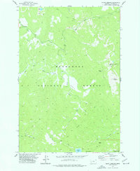
1998 Map of Burnt Fork Lake
USGS Topo · Published 2002About this map
The Sapphire Mountains dominate this high-altitude landscape along the border of Ravalli and Granite counties, where three national forests converge. The terrain is defined by complex water systems, including the Burnt Fork Bitterroot River and numerous alpine basins. High-country waters like Burnt Fork Lake, Little Burnt Fork Lakes, and Kneebes Lake are connected by a network of specialized routes, including the Palisade Mountain National Recreation Trail and the Easthouse National Recreation Trail.
Find a feature on this map
30 named features on this map. Tap any name to fly to it.
Don’t see what you’re looking for? This feature index may not catch every label — zoom into the map to look around manually.
Map Details
Editions of this 1998 Burnt Fork Lake Map
This is the sole edition of this map. No revisions or reprints were ever made.
Other maps of this area

1909 · Sapphire
USGS Topo · 1:125,000

1947 · Butte
USGS Topo · 1:250,000

1958 · Butte
USGS Topo · 1:250,000

1960 · Butte
USGS Topo · 1:250,000

1962 · Butte
USGS Topo · 1:250,000

1971 · Stony Creek
USGS Topo · 1:24,000
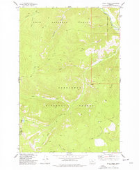
1974 · Stony Creek
USGS Topo · 1:24,000
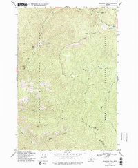
1974 · Skalkaho Pass
USGS Topo · 1:24,000
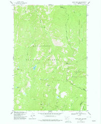
1974 · Burnt Fork Lake
USGS Topo · 1:24,000
1974 · Mount Emerine
USGS Topo · 1:24,000