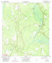
1978 Map of Burnt Fort
USGS Topo · Published 1987About this map
The Satilla River meanders through the lowlands of Southeast Georgia, defining the border between Charlton and Camden counties. This 1970s landscape is characterized by its tidal influence and riverine economy, evidenced by historical river crossings and access points like Allens Ferry, Godley Landing, and Clarks Landing. The settlement at Burnt Fort serves as a focal point near Hopkins Bridge, while the surrounding timberlands are interspersed with evidence of land use ranging from the Corinth Ch and Antioch Cem to a local Strip Mine.
Find a feature on this map
28 named features on this map. Tap any name to fly to it.
Don’t see what you’re looking for? This feature index may not catch every label — zoom into the map to look around manually.
Map Details
Editions of this 1978 Burnt Fort Map
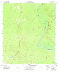
2 editions found
Other maps of this area

1917 · Nahunta
USGS Topo · 1:62,500

1917 · Boulogne
USGS Topo · 1:62,500

1918 · Folkston
USGS Topo · 1:62,500

1918 · Nahunta
USGS Topo · 1:62,500

1919 · Boulogne
USGS Topo · 1:62,500

1946 · Brunswick
USGS Topo · 1:250,000

1948 · Jacksonville
USGS Topo · 1:250,000

1948 · Brunswick
USGS Topo · 1:250,000

1953 · Waycross
USGS Topo · 1:250,000

1954 · Valdosta
USGS Topo · 1:250,000