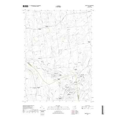
2019 Map of Burnt Hills
USGS Topo · Published 2019About this map
The boundary between Saratoga and Schenectady counties divides this landscape of suburban expansion and deep-rooted agricultural hamlets. The settlement of Burnt Hills serves as a primary hub, characterized by community landmarks like the Calvary Episcopal Church. To the south and west, the terrain is defined by the winding paths of the Alplaus Kill and Indian Kill, which once powered local industry.
Find a feature on this map
138 named features on this map. Tap any name to fly to it.
Don’t see what you’re looking for? This feature index may not catch every label — zoom into the map to look around manually.
Map Details
Editions of this 2019 Burnt Hills Map
This is the sole edition of this map. No revisions or reprints were ever made.
Other maps of this area

1893 · Schenectady
USGS Topo · 1:62,500

1895 · Schenectady
USGS Topo · 1:62,500

1895 · Amsterdam
USGS Topo · 1:62,500

1898 · Schenectady
USGS Topo · 1:62,500

1899 · Broadalbin
USGS Topo · 1:62,500

1902 · Broadalbin
USGS Topo · 1:62,500

1902 · Saratoga
USGS Topo · 1:62,500

1930 · Schenectady
USGS Topo · 1:62,500

1931 · Amsterdam
USGS Topo · 1:62,500

1934 · Saratoga Springs
USGS Topo · 1:24,000