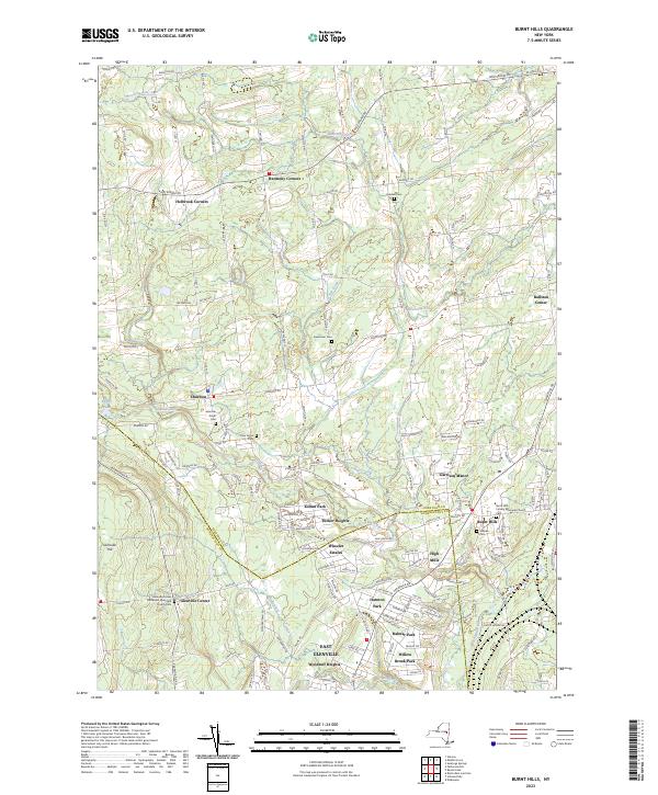
2023 Map of Burnt Hills
USGS Topo · Published 2023About this map
The rolling landscape of southern Saratoga and northern Schenectady counties is defined by a series of long-established hamlets and residential developments. Burnt Hills and Glenville Center serve as primary anchors, with the latter featuring the Methodist Episcopal Church and nearby Glenville Hill. The area is notably rich in family and community burial grounds, preserving local lineages through sites such as the Jeremiah Smith Cem, Sweetman Cem, Pine Grove Cem, and Hubbell Cem.
Find a feature on this map
132 named features on this map. Tap any name to fly to it.
Don’t see what you’re looking for? This feature index may not catch every label — zoom into the map to look around manually.
Map Details
Editions of this 2023 Burnt Hills Map
This is the sole edition of this map. No revisions or reprints were ever made.
Other maps of this area

1893 · Schenectady
USGS Topo · 1:62,500

1895 · Schenectady
USGS Topo · 1:62,500

1895 · Amsterdam
USGS Topo · 1:62,500

1898 · Schenectady
USGS Topo · 1:62,500

1899 · Broadalbin
USGS Topo · 1:62,500

1902 · Broadalbin
USGS Topo · 1:62,500

1902 · Saratoga
USGS Topo · 1:62,500

1930 · Schenectady
USGS Topo · 1:62,500

1931 · Amsterdam
USGS Topo · 1:62,500

1934 · Saratoga Springs
USGS Topo · 1:24,000