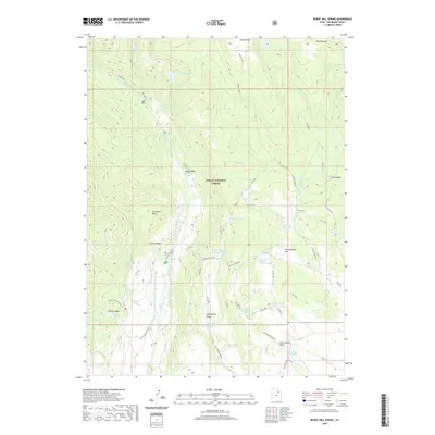
2020 Map of Burnt Mill Spring
USGS Topo · Published 2020About this map
Ashley National Forest dominates this Duchesne County landscape, where complex water management systems define the high-elevation terrain. Numerous man-made features like Timothy Cr Reservoir, Mud Spring Reservoir Number 1, and Lower Burnt Mill Spring Reservoir indicate a highly controlled hydrological environment within the wider Yellowstone River drainage. These reservoirs are fed by a network of seasonal streams and springs, including Burnt Mill Spring and McKune Spring, which served local grazing and forest management needs.
Find a feature on this map
48 named features on this map. Tap any name to fly to it.
Don’t see what you’re looking for? This feature index may not catch every label — zoom into the map to look around manually.
Map Details
Editions of this 2020 Burnt Mill Spring Map
This is the sole edition of this map. No revisions or reprints were ever made.
Other maps of this area

1885 · Uinta
USGS Topo · 1:250,000

1905 · Gilbert Peak
USGS Topo · 1:125,000

1906 · Gilbert Peak
USGS Topo · 1:125,000

1939 · Duchesne
USGS Topo · 1:125,000

1954 · Salt Lake City
USGS Topo · 1:250,000

1958 · Salt Lake City
USGS Topo · 1:250,000

1960 · Salt Lake City
USGS Topo · 1:250,000

1965 · Mount Emmons
USGS Topo · 1:24,000
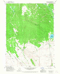
1965 · Heller Lake
USGS Topo · 1:24,000
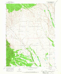
1965 · Mountain Home
USGS Topo · 1:24,000