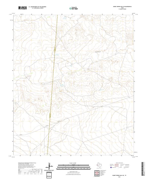
2022 Map of Burnt Spring Hills SE
USGS Topo · Published 2022About this map
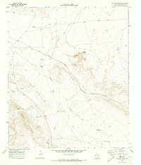
Hart Draw and Herds Pass Draw carve through this arid stretch of West Texas, defining the drainage patterns of a landscape managed for cattle and water conservation. The map reveals a sophisticated network of artificial water catchments, including Bull Tank, Frijol Tank, and the paired North Rock Tank and South Rock Tank, which are essential for livestock in this environment. The boundary between Culberson and Reeves counties runs nearly north-to-south across the western half of the sheet, providing a primary cadastral reference for the region. Modern infrastructure is limited to the southeastern quadrant, where Toyah Rd and Co Rd 225 intersect, facilitating movement through the sparsely settled rangeland. This survey captures a specific moment in the enduring relationship between water management and the vast ranching tracts of the Trans-Pecos.
Find a feature on this map
10 named features on this map. Tap any name to fly to it.
Don’t see what you’re looking for? This feature index may not catch every label — zoom into the map to look around manually.
Map Details
Editions of this 2022 Burnt Spring Hills SE Map
This is the sole edition of this map. No revisions or reprints were ever made.
Other maps of this area

1921 · Toyah
USGS Topo · 1:125,000

1928 · Kent
USGS Topo · 1:125,000

1954 · Van Horn
USGS Topo · 1:250,000

1954 · Pecos
USGS Topo · 1:250,000

1957 · Pecos
USGS Topo · 1:250,000

1958 · Van Horn
USGS Topo · 1:250,000
1970 · San Martine
USGS Topo · 1:24,000
1970 · Gozar
USGS Topo · 1:24,000
1970 · Toyah SW
USGS Topo · 1:24,000
1970 · Iron Mountain
USGS Topo · 1:24,000