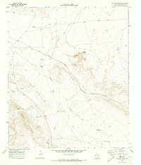
1970 Map of Iron Mountain
USGS Topo · Published 1973About this map
The Apache Mountains dominate the southwestern corner of this landscape, rising above a high-desert floor defined by seasonal drainage systems and scattered water improvements. In the early 1970s, ranching operations and transportation corridors remained the primary human footprint in this arid Culberson County region. The Texas and Pacific railroad tracks cut a diagonal path across the northern reaches, while numerous isolated water sources such as Pistola Windmill, Sulphur Windmill, and the Goat Shed Waterhole served as critical landmarks for local land use. A network of Jeep Trails provides access through the complex topography of Iron Mountain and Red Point, connecting several family-named and descriptive features like Foster Windmill and Mountain Windmill. The presence of several Drill Holes and Wells points to ongoing geological exploration or water searches in this thirsty terrain.
Find a feature on this map
27 named features on this map. Tap any name to fly to it.
Don’t see what you’re looking for? This feature index may not catch every label — zoom into the map to look around manually.
Map Details
Editions of this 1970 Iron Mountain Map
This is the sole edition of this map. No revisions or reprints were ever made.
Other maps of this area

1928 · Kent
USGS Topo · 1:125,000

1954 · Van Horn
USGS Topo · 1:250,000

1958 · Van Horn
USGS Topo · 1:250,000
1970 · Panther Canyon
USGS Topo · 1:24,000
1970 · San Martine
USGS Topo · 1:24,000
1970 · Gomez Peak
USGS Topo · 1:24,000
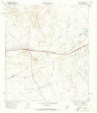
1970 · Kent
USGS Topo · 1:24,000
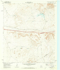
1970 · Fencepost Draw
USGS Topo · 1:24,000
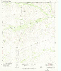
1973 · Burnt Spring Hills SE
USGS Topo · 1:24,000
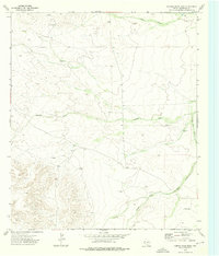
1973 · Hopper Draw East
USGS Topo · 1:24,000