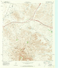
1970 Map of Gomez Peak
USGS Topo · Published 1973About this map
Gomez Peak and Newman Peak dominate this High Desert landscape along the tri-county intersection of Culberson, Reeves, and Jeff Davis counties. The 1970 terrain reveals a ranching economy reliant on isolated water sources, from San Martine Spring to the Levinson Reservoir in the northwest. High-elevation encampments and property markers like Dyer Camp and the Cowan Homestead are connected by a network of jeep trails and fence lines, showing how families and cattle outfits managed this arid territory before modern infrastructure further altered the region. This survey captures a specific pastoral era when family names like Stocks, Cowden, and Woulfter defined the local geography through springs, tanks, and windmills.
Find a feature on this map
59 named features on this map. Tap any name to fly to it.
Don’t see what you’re looking for? This feature index may not catch every label — zoom into the map to look around manually.
Map Details
Editions of this 1970 Gomez Peak Map
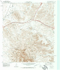
2 editions found
Other maps of this area

1894 · Valentine
USGS Topo · 1:125,000

1894 · Fort Davis
USGS Topo · 1:125,000

1897 · Valentine
USGS Topo · 1:125,000

1897 · Fort Davis
USGS Topo · 1:125,000

1921 · Toyah
USGS Topo · 1:125,000

1928 · Kent
USGS Topo · 1:125,000

1943 · Valentine
USGS Topo · 1:125,000

1954 · Van Horn
USGS Topo · 1:250,000

1954 · Pecos
USGS Topo · 1:250,000

1954 · Fort Stockton
USGS Topo · 1:250,000