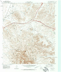
1970 Map of Gomez Peak
USGS Topo · Published 1973About this map
Gomez Peak and Newman Peak anchor this arid Trans-Pecos landscape where Culberson, Reeves, and Jeff Davis counties meet. The 1970 survey records a territory defined by isolated cattle operations and the essential infrastructure of water management, featuring a network of livestock tanks and family-named ranching outposts like the Sleek Ranch, Cowden Ranch, and Woulfter Ranch. The terrain is deeply dissected by ephemeral watercourses such as Adobe Draw and Ninemile Draw, which funnel seasonal runoff toward the desert floor.
Find a feature on this map
63 named features on this map. Tap any name to fly to it.
Don’t see what you’re looking for? This feature index may not catch every label — zoom into the map to look around manually.
Map Details
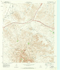
Editions of this 1970 Gomez Peak Map
2 editions found
Other maps of this area

1894 · Valentine
USGS Topo · 1:125,000

1894 · Fort Davis
USGS Topo · 1:125,000

1897 · Valentine
USGS Topo · 1:125,000

1897 · Fort Davis
USGS Topo · 1:125,000

1921 · Toyah
USGS Topo · 1:125,000

1928 · Kent
USGS Topo · 1:125,000

1943 · Valentine
USGS Topo · 1:125,000

1954 · Van Horn
USGS Topo · 1:250,000

1954 · Pecos
USGS Topo · 1:250,000

1954 · Fort Stockton
USGS Topo · 1:250,000