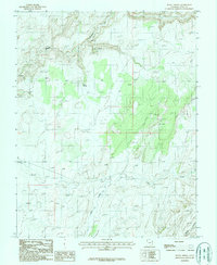
1987 Map of Burnt Spring
USGS Topo · Published 1987About this map
The Emigrant Trail (Pack) cuts across this high desert landscape, marking a historical corridor of movement through the canyon country of San Juan County. This 1987 provisional survey shows the area as it appeared in the early 1980s, defined by the deep incisions of Moqui Canyon and Mikes Canyon into the plateau. The drainage of Castle Creek flows toward the southwest, while local water sources like Burnt Spring and various unnamed tanks provide critical points in the arid terrain. Human activity is sparse, indicated primarily by a Gravel Pit and a network of 4WD tracks that follow the natural contours of the mesas. The map captures the complex topography between the North Gulch and prominent high points such as Moki 5934, providing a detailed view of the land before modern recreational shifts altered the usage of these remote backcountry routes.
Find a feature on this map
10 named features on this map. Tap any name to fly to it.
Don’t see what you’re looking for? This feature index may not catch every label — zoom into the map to look around manually.
Map Details
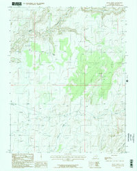
Editions of this 1987 Burnt Spring Map
2 editions found
Other maps of this area

1886 · Henry Mountains
USGS Topo · 1:250,000

1892 · Henry Mountains
USGS Topo · 1:250,000

1952 · Mancos Mesa
USGS Topo · 1:62,500

1953 · Lake Canyon
USGS Topo · 1:62,500

1953 · Mt. Ellsworth
USGS Topo · 1:62,500

1954 · White Canyon 3 SE
USGS Topo · 1:24,000

1954 · White Canyon 3 SW
USGS Topo · 1:24,000

1954 · Clay Hills 2 SW
USGS Topo · 1:24,000

1954 · Clay Hills 2 NW
USGS Topo · 1:24,000

1954 · Clay Hills 2 NE
USGS Topo · 1:24,000