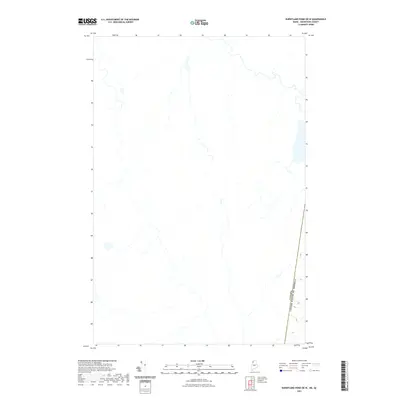
2021 Map of Burntland Pond OE W
USGS Topo · Published 2021About this map
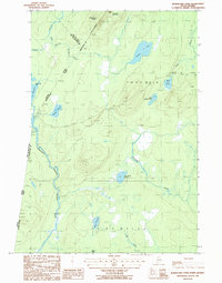
Canada United States of America international border defines the eastern edge of this 2021 study in Aroostook County. This particular area of the North Woods is characterized by a dense network of unnamed streams and wetlands, forming a complex drainage pattern that feeds into the broader Saint John River watershed. The map records the precise boundary line as it cuts through the forest, marking the division between Maine and Quebec. While the interior remains largely undeveloped with no named roads or settlements, the topography shows the gradual elevation changes and water systems of this borderland region.
Find a feature on this map
1 named feature on this map. Tap any name to fly to it.
Don’t see what you’re looking for? This feature index may not catch every label — zoom into the map to look around manually.
Map Details
Editions of this 2021 Burntland Pond OE W Map
This is the sole edition of this map. No revisions or reprints were ever made.
Other maps of this area

1954 · Presque Isle
USGS Topo · 1:250,000

1955 · Depot Lake
USGS Topo · 1:62,500

1955 · Beaver Pond
USGS Topo · 1:62,500

1958 · Presque Isle
USGS Topo · 1:250,000

1960 · Presque Isle
USGS Topo · 1:250,000

1962 · Quebec
USGS Topo · 1:250,000
1977 · St. Adalbert
USGS Topo · 1:24,000
1977 · Burntland Pond
USGS Topo · 1:24,000
1986 · Eastman Brook
USGS Topo · 1:24,000
1986 · Burntland Pond
USGS Topo · 1:24,000