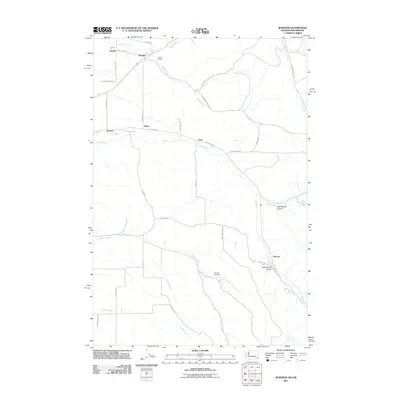
2011 Map of Buroker
USGS Topo · Published 2011About this map
Sapolil and Buroker anchor this agricultural landscape in southeastern Washington, where a network of rural roads follows the drainage patterns of the Blue Mountains foothills. The terrain is defined by several prominent watercourses including Dry Creek, Spring Creek, and Mill Creek, which flow through a series of canyons and draws. Small named settlements like Kibler, Harbert, and Tracy are scattered along the creek beds, reflecting the historic pattern of homesteading and transport in this region. Landmarks such as the Wickersham Bridge and Darcys Air Strip provide specific points of interest for local researchers. The southern portion of the map shows the winding paths of Russell Creek and Reser Creek as they move toward the valley floor, highlighting the irrigation-dependent nature of the local economy.
Find a feature on this map
39 named features on this map. Tap any name to fly to it.
Don’t see what you’re looking for? This feature index may not catch every label — zoom into the map to look around manually.
Map Details
Editions of this 2011 Buroker Map
This is the sole edition of this map. No revisions or reprints were ever made.
Other maps of this area

1919 · Walla Walla
USGS Topo · 1:125,000

1921 · Walla Walla
USGS Topo · 1:125,000

1953 · Pendleton
USGS Topo · 1:250,000

1953 · Walla Walla
USGS Topo · 1:250,000

1956 · Pendleton
USGS Topo · 1:250,000

1958 · Walla Walla
USGS Topo · 1:250,000

1963 · Big Meadows
USGS Topo · 1:24,000

1963 · Peterson Ridge
USGS Topo · 1:24,000

1964 · Bowlus Hill
USGS Topo · 1:24,000

1966 · Dixie
USGS Topo · 1:24,000