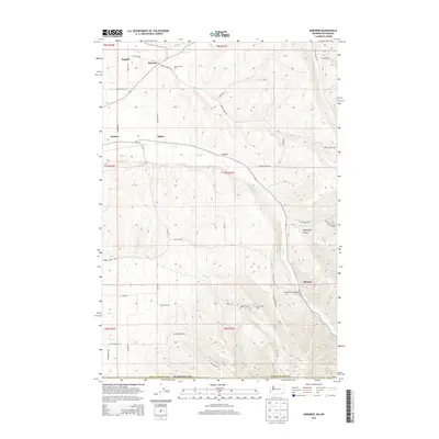
2014 Map of Buroker
USGS Topo · Published 2014About this map
Mill Cr and Russell Cr cut through the high plateau of Walla Walla County, shaping a landscape defined by deep drainages and agricultural reaches. This area northeast of Walla Walla shows a pattern of small rural settlements such as Sapolil, Buroker, and Tracy, many of which sit along the winding valley floors or at key road junctions. The transport network is a mix of straight-line section roads like 7 Mile Rd and more reactive terrain-following routes such as Mormon Grade Rd.
Find a feature on this map
50 named features on this map. Tap any name to fly to it.
Don’t see what you’re looking for? This feature index may not catch every label — zoom into the map to look around manually.
Map Details
Editions of this 2014 Buroker Map
This is the sole edition of this map. No revisions or reprints were ever made.
Other maps of this area
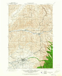
1919 · Walla Walla
USGS Topo · 1:125,000
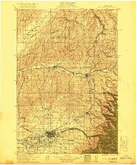
1921 · Walla Walla
USGS Topo · 1:125,000
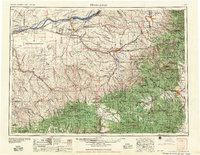
1953 · Pendleton
USGS Topo · 1:250,000
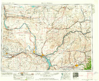
1953 · Walla Walla
USGS Topo · 1:250,000
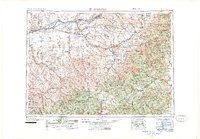
1956 · Pendleton
USGS Topo · 1:250,000
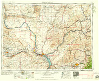
1958 · Walla Walla
USGS Topo · 1:250,000
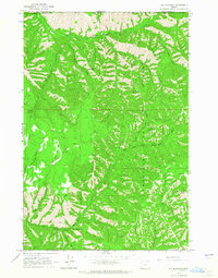
1963 · Big Meadows
USGS Topo · 1:24,000
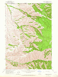
1963 · Peterson Ridge
USGS Topo · 1:24,000
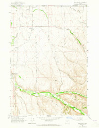
1964 · Bowlus Hill
USGS Topo · 1:24,000
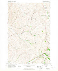
1966 · Dixie
USGS Topo · 1:24,000